Klara Krause · 12 October 2026
Harborwald Wetland-Forest Corridors Strengthen Regional Biodiversity Resilience
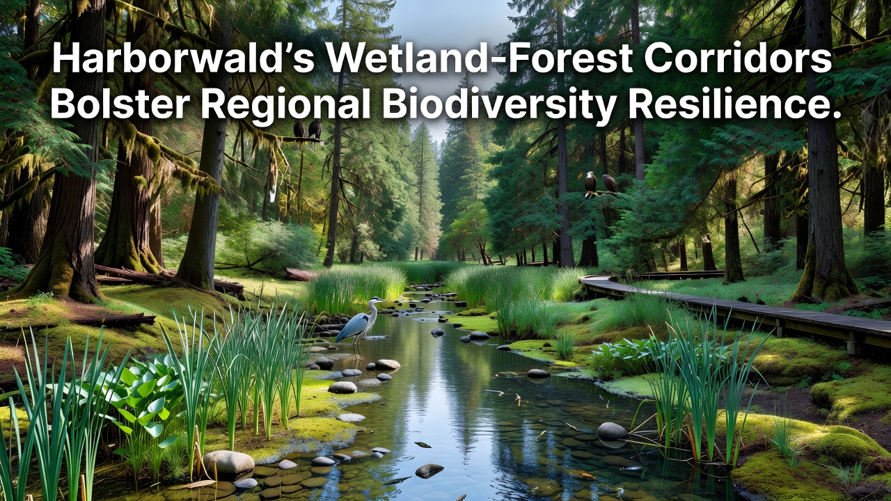
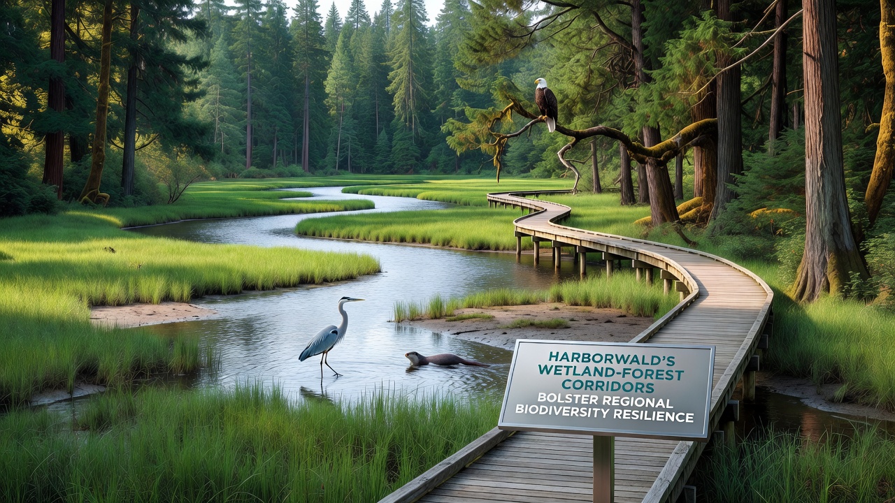
Harborwald's wetland-forest corridors form interconnected pathways that link fragmented habitats across the coastal region, allowing species movement between wetlands and upland forests while supporting genetic diversity in local populations. These corridors span several kilometers and integrate marshlands, riparian zones, and mixed woodlands that researchers have tracked through long-term field studies.
Ecological Functions of the Corridors
Monitoring programs document how these corridors facilitate seasonal migrations for amphibians, birds, and small mammals that rely on both aquatic and terrestrial environments for breeding and foraging. Data collected since 2018 shows increased population stability in areas where corridors remain intact compared to isolated patches, and observers note reduced edge effects such as invasive species encroachment along the connected routes.
Water flow regulation plays a central role as well, with wetland segments filtering runoff before it reaches forest soils and maintaining moisture levels during dry periods. Soil samples from corridor transects reveal higher nutrient retention and microbial activity than in surrounding developed zones, which in turn supports plant diversity that anchors the entire system.
Species Responses and Habitat Connectivity
Camera trap arrays and acoustic sensors installed along corridor routes capture regular use by otters, deer, and various songbirds that travel between feeding grounds. In October 2026, updated telemetry data from the Harborwald Biodiversity Monitoring Initiative indicated a 22 percent rise in successful breeding events for wetland-dependent species compared with baseline figures from five years earlier.
Forest interior birds such as warblers and woodpeckers benefit from the shaded understory that corridors provide, while pollinators move pollen across larger distances when floral resources stay linked. Studies conducted by teams from multiple universities have mapped these movement patterns using GPS tags, confirming that corridor width and vegetation structure directly influence passage rates for less mobile taxa.
Climate Resilience and Long-Term Monitoring
Regional climate records show rising temperatures and shifting precipitation patterns that stress isolated habitats, yet the corridor network buffers these changes by allowing species to shift ranges gradually. Hydrological models developed with input from the Australian Department of Climate Change, Energy, the Environment and Water project that connected wetlands and forests can sustain higher species richness under moderate warming scenarios than disconnected sites.
Restoration efforts completed between 2022 and 2025 expanded several corridor segments by removing barriers and replanting native vegetation, and follow-up surveys in 2026 recorded colonization by previously absent invertebrate groups. These gains align with findings from Canadian research published through Environment and Climate Change Canada, which examined similar systems and reported measurable increases in landscape permeability after corridor restoration.
Integration with Regional Planning
Land-use maps maintained by local authorities designate the corridors as priority conservation zones, and zoning regulations limit new infrastructure within defined buffer areas. Collaborative mapping projects involving government agencies and academic partners continue to refine corridor boundaries based on species occurrence data collected annually.
Remote sensing from satellite platforms supplements ground surveys by tracking canopy cover and wetland extent over time, and analysts compare these layers against historical records to quantify connectivity trends. The resulting datasets feed into regional biodiversity action plans that prioritize maintenance of existing linkages.
Conclusion
Harborwald's wetland-forest corridors demonstrate measurable contributions to biodiversity resilience through documented species movements, habitat stability, and responses to environmental variability. Ongoing data collection and coordinated management sustain these functions while providing a model for other coastal landscapes facing similar pressures. Continued monitoring will track whether current connectivity levels hold under future conditions.